
VARINDIA
Breaking
Techno Blogging

NavIC: India’s Own GPS Powers Digital Sovereignty

2 min read0 views
Share:
NavIC: India’s Own GPS Powers Digital Sovereignty

India's successful satellite navigation missions represent a significant step towards technological self-reliance. Prime Minister Narendra Modi's congratulations to ISRO highlight the strategic importance of strengthening NavIC (Navigation with Indian Constellation), India's indigenous satellite-based positioning, navigation and timing system.

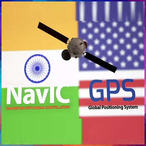
Developed by the Indian Space Research Organisation (ISRO), NavIC is India's answer to America's GPS, although its geographical coverage and constellation architecture are different. Unlike GPS, which provides worldwide coverage, NavIC is designed primarily for India and a region extending approximately 1,500 kilometres beyond its borders.

India's GPS Capabilities

India has developed an independent navigation infrastructure capable of supporting civilian, commercial and strategic applications.

  1. Indigenous satellite navigation: NavIC provides positioning, navigation and timing services without relying entirely on foreign satellite systems.
  2. Regional positioning accuracy: NavIC is designed to deliver positioning accuracy better than 20 metres across its primary service region, subject to operating conditions.
  3. Defence and national security: Independent navigation supports military mobility, maritime surveillance, border operations and strategic communications.
  4. Transport and logistics: NavIC can support vehicle tracking, fleet management, railway operations and maritime navigation.
  5. Disaster management: Satellite-based positioning can assist emergency responders, fishermen and disaster-relief agencies.
  6. Digital infrastructure: Precise timing services can support telecommunications, electricity networks and other synchronised systems.
  7. Next-generation capabilities: Newer NVS-series satellites introduce additional navigation signals, including L1, to improve compatibility with consumer devices.

NavIC vs GPS: India's Strategic Position

Capability

India's NavIC

US GPS

Coverage

India and surrounding region

Worldwide

Satellite architecture

Seven-satellite design

Approximately 30 operational satellites

Civilian service

Standard Positioning Service

Open civilian GPS service

Strategic service

Encrypted Restricted Service

Authorised military services

Designed positioning accuracy

Better than 20 metres

Varies by receiver and conditions

Frequencies

L1, L5 and S

Multiple L-band signals

Ownership

Government of India / ISRO

US Government

These are system-level capabilities, not a claim that every NavIC service is currently available at its designed accuracy. 

The Next Challenge: Making NavIC Fully Operational

The October 30, 2026 launch of NVS03 is a major achievement, but successful launch and full operational commissioning are different milestones. ISRO reported on October 31 that the satellite was healthy following its first orbit-raising manoeuvre, with further manoeuvres planned. 

NavIC has previously experienced satellite failures, atomic-clock problems and an unsuccessful orbit-raising operation involving NVS-02. Restoring reliable service, completing the next-generation constellation and expanding receiver support will be essential for wider adoption. 

The larger opportunity: India can transform NavIC into a strategic foundation for indigenous smartphones, connected vehicles, drones, precision agriculture, defence systems and digital infrastructure.

The mission's real success will ultimately be measured not merely by satellites launched, but by how reliably Indian citizens, businesses and strategic institutions can use navigation services controlled by India.