
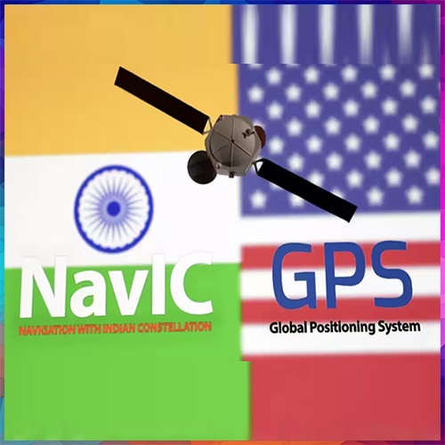
India's successful satellite
Developed by the Indian Space
India's GPS Capabilities
India has developed an
- Indigenous satellite
navigation: NavIC provides positioning, navigation and timing services without relying entirely on foreign satellite systems. - Regional positioning accuracy:
NavIC is designed to deliver positioning accuracy better than 20 metres across its primary service region, subject to operating conditions. - Defence and national security:
Independent navigation supports military mobility, maritime surveillance, border operations and strategic communications. - Transport and logistics:
NavIC can support vehicle tracking, fleet management, railway operations and maritime navigation. - Disaster management:
Satellite-based positioning can assist emergency responders, fishermen and disaster-relief agencies. - Digital infrastructure:
Precise timing services can support telecommunications, electricity networks and other synchronised systems. - Next-generation capabilities:
Newer NVS-series satellites introduce additional navigation signals, including L1, to improve compatibility with consumer devices.
NavIC vs GPS: India's
|
Capability |
India's NavIC |
US GPS |
|
Coverage |
India and surrounding region |
Worldwide |
|
Satellite architecture |
Seven-satellite design |
Approximately 30 operational |
|
Civilian service |
Standard Positioning Service |
Open civilian GPS service |
|
Strategic service |
Encrypted Restricted Service |
Authorised military services |
|
Designed positioning accuracy |
Better than 20 metres |
Varies by receiver and |
|
Frequencies |
L1, L5 and S |
Multiple L-band signals |
|
Ownership |
Government of India / ISRO |
US Government |
These are system-level
The Next Challenge: Making
The October 30, 2026 launch
NavIC has previously
The larger opportunity: India
The mission's real success