
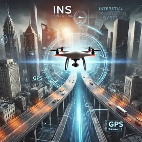
Modern drone warfare is transforming navigation into a critical battlefield capability. As electronic warfare intensifies, the distinction between Inertial Navigation Systems (INS) and Global Positioning Systems (GPS) is becoming increasingly important for military operations.
GPS determines a drone's location using satellite signals, delivering accurate positioning, navigation and timing information. However, its dependence on external radio signals creates vulnerabilities to jamming, spoofing and signal disruption, particularly in contested military environments.
INS operates differently. Using accelerometers and gyroscopes, it continuously calculates a drone's velocity, orientation and position from a known starting point. Unlike GPS, it requires no external signals, allowing navigation to continue when satellite connectivity becomes unavailable or unreliable.
The fundamental difference is resilience versus accumulated error. GPS can provide sustained positioning accuracy when reliable satellite signals are available, while INS offers independent navigation but suffers from drift as small sensor inaccuracies accumulate over time. Neither technology alone guarantees uninterrupted, precise navigation under every battlefield condition.
In modern conflicts, electronic warfare systems increasingly interfere with satellite navigation, creating operational challenges for reconnaissance, surveillance and other unmanned missions. This has accelerated interest in navigation architectures that combine INS and GPS with additional positioning technologies. Such integration helps maintain situational awareness when individual navigation sources become degraded or unavailable.
The emerging defence technology landscape also includes visual navigation, terrain referencing and AI-assisted sensor fusion. These technologies can provide additional navigation information, although their effectiveness depends on environmental conditions, sensor quality and computational reliability. The broader strategic objective is to reduce dependence on any single navigation source while improving operational resilience.
The future of drone warfare will depend not merely on autonomous flight, but on trusted navigation in electronically contested environments. GPS delivers valuable external positioning, while INS provides self-contained motion tracking. Together with complementary sensors, they form the foundation of resilient navigation. As unmanned systems become increasingly important to national defence, reliable positioning, cybersecurity and intelligent sensor integration will remain central to technological superiority and operational effectiveness.